A collective of passionate drone and data experts striving to deliver delightful products
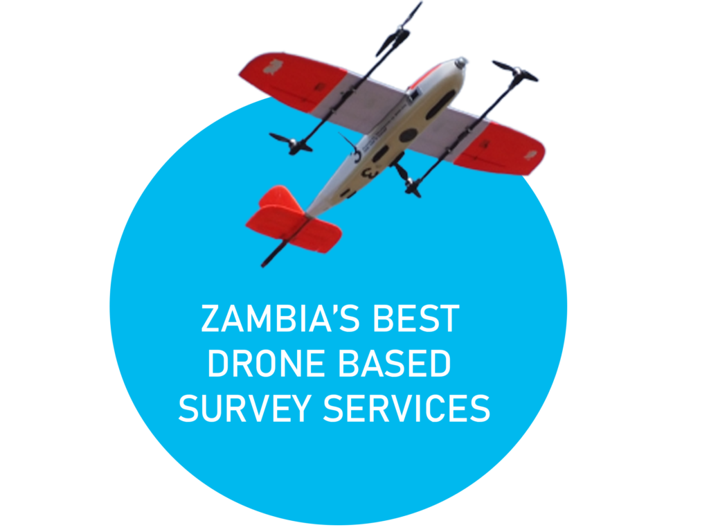
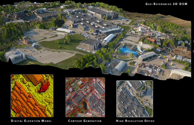
Zambian Incorporated aerial service provider Zanifi uses specialized technologies for geophysical and imaging surveys. Zanifi produces a wide range of data for the mining, construction, engineering, agricultural, conservation, and research industries using drones and cutting-edge sensors. Our Company is supported by local government agencies. Our rapid growth is attributed to leveraging international partnerships that pioneer drone technologies and new methods for drone surveys as well as developing capacity to build systems that support our business.


